


Geographical and Population Structure
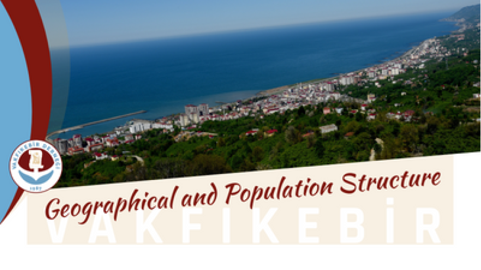
Vakfikebir is 40 km west of Trabzon. District lands are surrounded by Çarşıbaşı in the East, Beşikdüzü in the West, Tonya in the South and the Black Sea in the North. District center; It is established at the far end of a large center formed between the headlands of Işıklı (Yeros) in the east and Zeytin (Yobol) in the west. For this reason, the name of the district was shown as Büyükliman by the teachers in the geography books. From its illuminated lighthouse, the shore heads to the South-West and then to the North-West. After the wide bay called Büyükliman is formed, it reaches Zeytinburnu. The bay is closed to the shoreline. An anchorage for sailors. Vakfikebir is under the influence of the climatic conditions of the Eastern part of the Black Sea Region. However, it carries the marine character of the temperate climate. Summers are moderately hot, winters are mild and rainy. Rainfall is heavy in autumn, spring and winter. With the establishment of the Republic, it has preserved its feature of being a district. The district has five sub-districts and 129 villages together with the center.